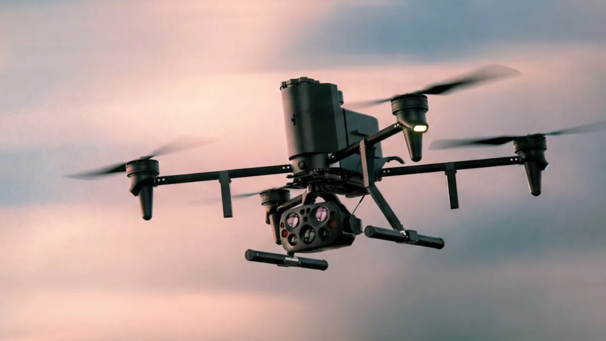
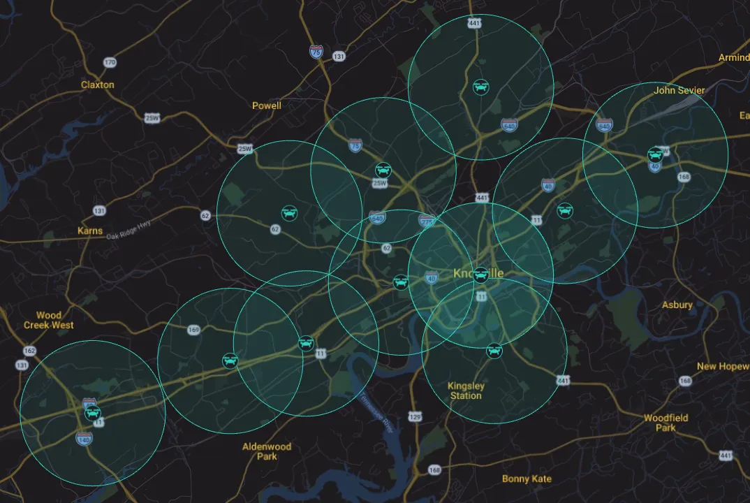
The Knoxville, Tennessee police department activated its Drone as First Responder (DFR) program in November: twelve Skydio docks distributed across municipal facilities that launch a drone within seconds of receiving a 911 call. According to the program’s official page, each station covers a radius of roughly two miles (about 3.2 kilometers), which allows a drone to reach almost any point in the city in 90 seconds or less. In many cases, the drone is over the scene before the patrol car.
The idea is not to replace the officer, but to give one eyes before arriving. Live video from the scene of the call is sent to the responding officers, with the stated goal of improving the information available in fast-moving incidents and reducing risk both to the public and to the police themselves.
How the Knoxville drone system works
The deployment relies on fixed infrastructure, not on a drone that takes off from an officer’s hand in the street. Each dock stays closed until a call comes in and, once the flight is authorized, it opens and puts the aircraft in the air within seconds. That is the part that explains the 90 seconds: the distance to cover does not depend on where a patrol unit is, but on where the nearest dock is.
The department describes the aircraft as semi-autonomous and specifies that they are launched and piloted remotely from its Real Time Information Center, which brings together sworn and civilian personnel. What the page does not detail is the split between what the software handles and what the person flying the mission decides. The city website does publish, however, the location map and the coverage of each station.
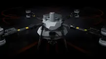
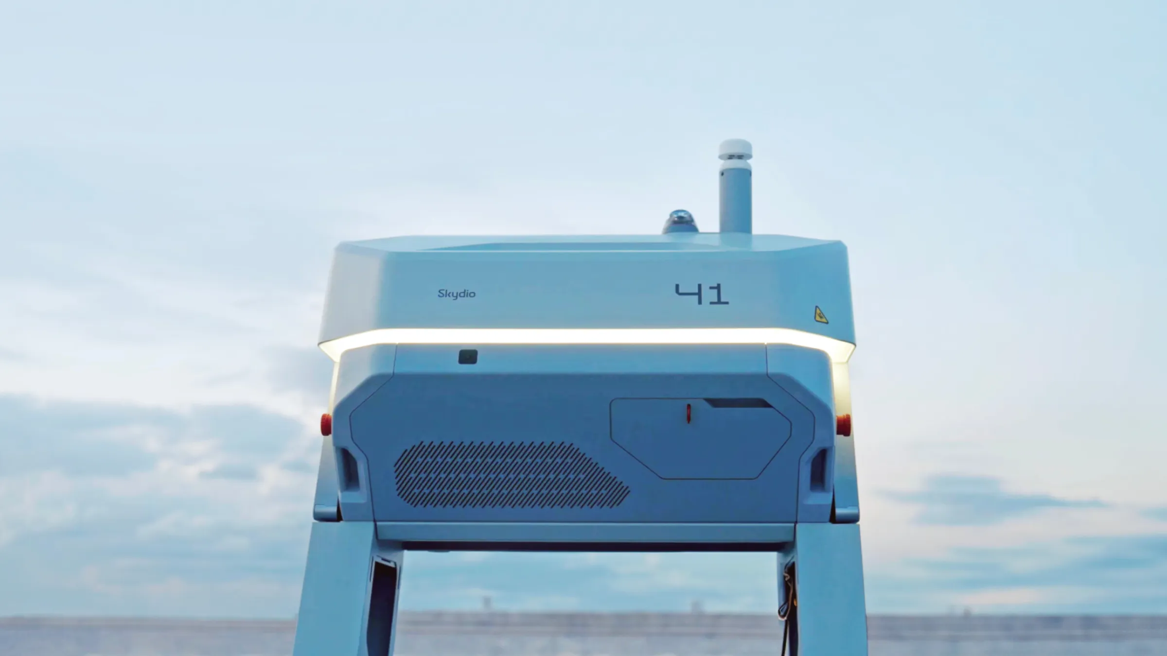
The stations are from Skydio, the company that this year introduced its remote docks and command software for operating autonomous fleets, and the transparency dashboard that logs every flight is hosted on its cloud platform. The fixed-station market is moving in parallel: DJI’s Dock 4, for example, swaps the aircraft’s battery to chain missions without intervention.
What the policy says and what it leaves out
The department’s documentation sets explicit limits. The internal procedure restricts flights to emergency calls and to the cases authorized by state law, and prohibits random patrols and surveillance not tied to a call. Flights are also subject to internal audit.
On the handling of imagery, the program page addresses two of the usual objections: the drones include neither facial recognition nor license plate reading. Video is deleted after 15 days, unless it is retained as evidence for an ongoing investigation or criminal prosecution.
The department keeps a public transparency dashboard, hosted on Skydio’s cloud platform, where it logs each flight with the date, the location and a basic description of the reason for the deployment. The same page places Knoxville alongside other agencies already running DFR models, such as the departments in New York, San Francisco and Los Angeles.
The questions the announcement leaves open
Public data describes the framework, not its day-to-day application. These are the issues that remain open and that a deployment of this kind makes it necessary to follow closely:
- Who sees the live video. The department says the real-time information center operates the aircraft, but it does not detail how many people can open the stream simultaneously or whether every access is logged.
- What exactly “evidence” means. The 15-day retention has an exception for criminal investigation. How much is kept in practice and who validates that decision is the question that determines the system’s real scope.
- How much detail the public dashboard provides. A log with date, location and a “basic description” makes it possible to confirm that a flight took place, not to reconstruct the mission.
- Internal versus external audit. The procedure provides for internal review; no independent body to examine the flights is announced.
- Where autonomy ends. The manufacturer and the department speak of semi-autonomy and remote piloting. The boundary between what the software decides and what the person at the center decides is not published.
For a European reader, the case is a reference point for how rapid drone response is being assembled in mid-sized cities: fixed stations, coverage measured in seconds and a transparency framework that rests on public logs. The technical part is already solved; the discussion that remains is about governance.