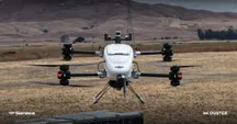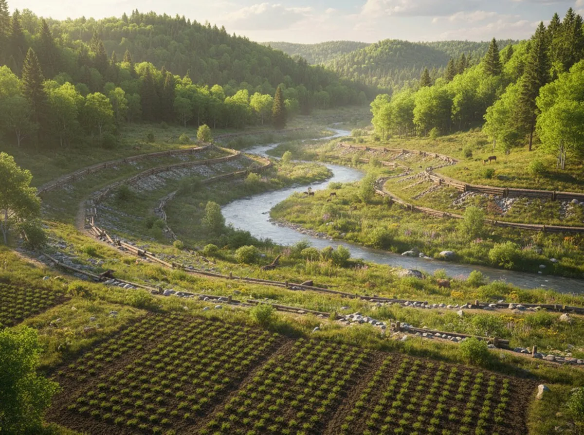
Surveying a reservoir, a dam or a stretch of coastline has a problem that never shows up in a land survey: a good part of the surface to be modelled lies under water. That is the scenario drone bathymetry solves. The Galician company Aeromedia tackles it by combining high-precision LiDAR sensors and bathymetric sensors on the same aircraft, so that a single flight produces a continuous model linking the emerged terrain to the submerged bed.
Unlike consumer, image-first drones such as the Antigravity A1, what is measured here is not video, but ground elevation and bottom depth.
What aerial bathymetry is and what it solves
Bathymetry is the discipline that measures the depth and relief of the bottom of water bodies: reservoirs, rivers and coastal areas. The traditional method is a boat fitted with sonar, accurate but slow and limited to navigable areas.
LiDAR drone bathymetry changes the starting point. The drone flies over both the emerged and the submerged part and delivers both datasets in a single reference system, without moving a boat and without stitching together two separate surveys afterwards. According to Aeromedia, this combination removes the discontinuity at the shoreline: the elevation of the visible terrain and the depth of the bottom are sewn into one digital model.
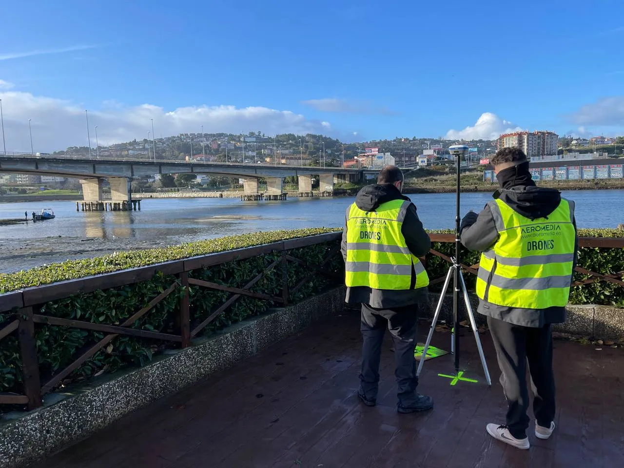
Applications: from reservoirs to the coast
The value of a continuous survey appears when the decision depends on both surfaces at once. The uses the company details are four:
- Reservoirs and dams: monitoring the stored water volume and the sediment accumulated on the reservoir bed.
- Coastal areas: joint modelling of the emerged beach and the submerged platform close to the shore.
- River channels: river profiles for hydraulic or flood-risk studies.
- Hydraulic infrastructure: support for civil engineering projects that need the complete topography of a site’s surroundings.
In all of them the value is not the precision of a single sensor, but the fact that the model is not cut off at the shoreline. That continuity is what makes it possible to calculate, for instance, how much sediment has built up in a reservoir or how the submerged beach is evolving.
The limits worth knowing
The technique does not work on any body of water. Aeromedia notes that the depth and clarity of the water must be compatible with the bathymetric sensor used: the murkier or deeper the water body, the narrower the measuring margin. It is the same constraint any submerged optical system carries, and it is worth keeping in mind before budgeting a project.
On top of that is the company’s own context, presenting the service as part of its business. Aeromedia UAV claims to be the first RPAS operator in Spain to carry LiDAR systems on drones, since 2017, and the one with the most such equipment in its fleet, with five active units. These are the company’s figures, not an audited market comparison: they help place its experience, not stand as an independent ranking.
For anyone managing water or hydraulic infrastructure, the useful question is not whether a drone replaces sonar, but whether they need a continuous model that joins land and bottom. When the answer is yes and water conditions cooperate, a single flight replaces two campaigns. When the water will not let the bottom show, no aerial technology solves it.