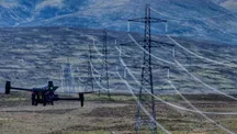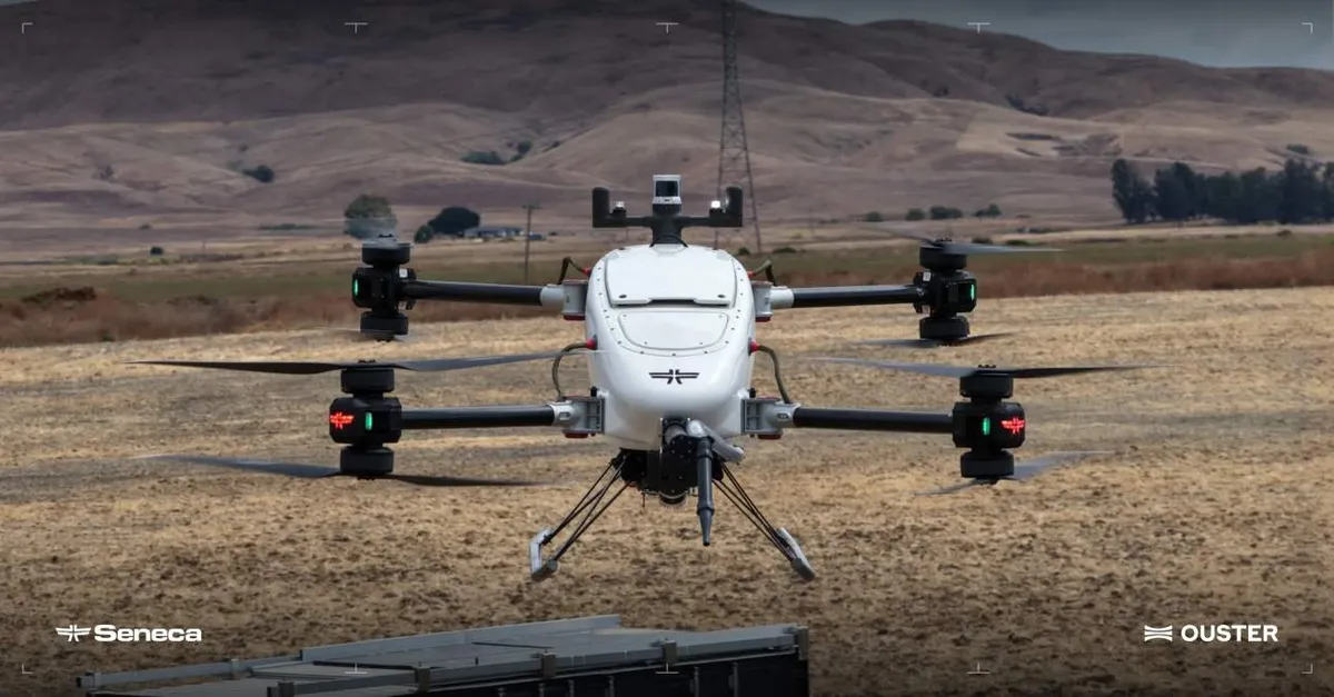
Ouster and Seneca have struck a partnership to integrate Ouster’s Rev8 OS1 Max digital LiDAR into Seneca’s autonomous drone platform. The goal is concrete: for these aircraft to perceive their surroundings better, navigate without relying only on a camera, and avoid obstacles in the shifting conditions of a wildfire.
What LiDAR brings that a camera cannot
A conventional camera depends on visible light: if smoke covers it, it stops offering useful information. LiDAR works differently. It fires laser pulses and measures the returning signal to build a 3D picture of the environment, an alternative way to understand what is nearby when visibility gets difficult.
That difference is what justifies the integration. With Ouster’s sensor inside the perception system, Seneca says its aircraft can build a more precise three-dimensional representation of what is ahead of them while carrying out their mission.
Why it matters: less room for error in the worst scenario
Seneca’s drones are not camera platforms: they are meant to carry heavy cargo to the fire line, follow the terrain for mapping and vegetation management, and inspect structures and power infrastructure. In all of those roles, a perception error does not stay a blurry image.
The Rev8 OS1 Max fits there on range and resolution. It uses 256 channels and can deliver up to 4K horizontal resolution, so the aircraft receives more information about what lies ahead as it moves. At fast autonomous speeds the math is simple: more detection range means more time to identify an obstacle and correct the flight path.
Until now Seneca relied on infrared sensors and cameras for collision avoidance, mapping, and object detection. LiDAR adds a perception layer that does not depend as much on lighting conditions, which is exactly what fails surrounded by smoke. Anyone wanting to understand this technology better on the ground has a good starting point in the guide to bathymetry with a LiDAR drone.
Ruggedness and origin: what is demanded of a sensor flying toward fire
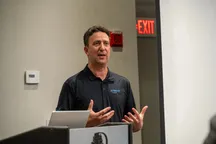
Measuring well is not enough. A wildfire-response drone faces extreme heat, smoke, dust, cold, and impacts. Seneca highlights that the Rev8 OS1 Max is rated IP68 and IP69K and qualified to operate between -40 °C and 85 °C, in addition to its shock tolerance. For Seneca CEO Stuart Landesberg, that ruggedness can matter as much as LiDAR performance when the aircraft are deployed near active fires.
The partnership also fits Seneca’s bet on American-built autonomous aircraft. Ouster notes that its digital LiDAR platform complies with NDAA Section 164 and Buy America Build America (BABA) requirements, which backs the local design and assembly of the systems.
One more piece, not the solution
Integrating LiDAR improves perception, but on its own it does not turn a drone into an aerial firefighter. The value of the partnership will be measured in useful operating hours where a crewed aircraft or a ground team cannot reach today. The pending question is the usual one in this industry: how much of that capability turns into real missions and at what cost per operation, something the announcement does not yet answer.